GIS-analyses, remote sensing, cartography & UAV services
GIS / remote sensing / cartography
In almost any phase of the planning of a renewable energy project, tailor-made maps and plans serve as a basis for decision-making in internal processes as well as in the context of approval procedures, auctions or for presentation purposes. Based on digital databases, GIS-methods and remote sensing (aerial and satellite image analysis) as well as on-site mapping, SOWITEC development gathers the relevant data for your project development: from digital height models to topographic and thematic maps and plans.
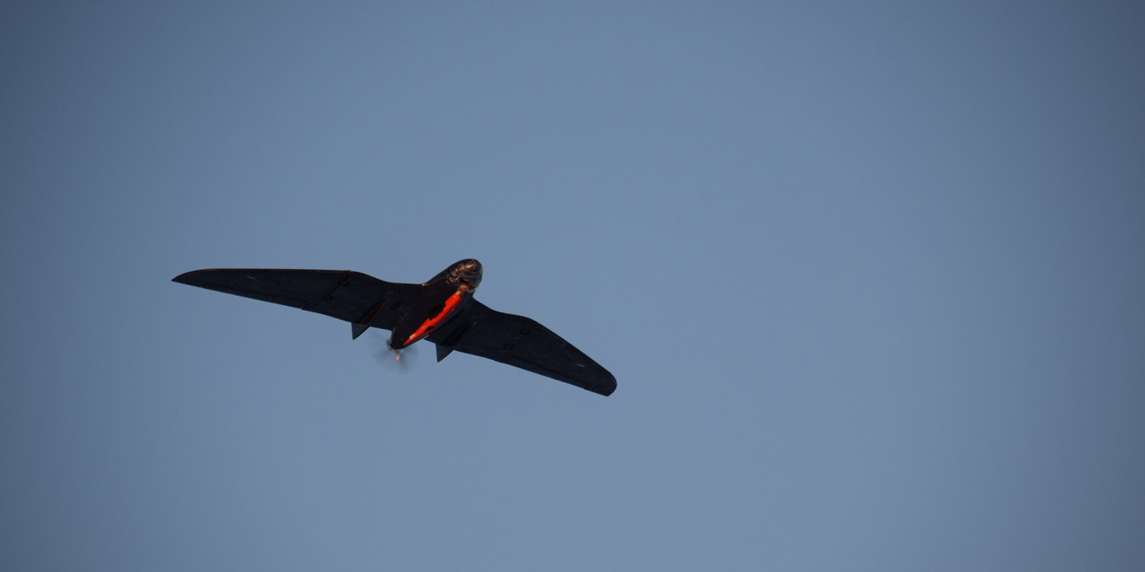
UAV (drone) based topographical survey
With the help of UAV (Unmanned Aerial Vehicle) based topographical surveys, SOWITEC development elaborates:
- High-res Digital Surface Models (DSM) – including vegetation cover, buildings etc.
- High-res Digital Terrain Models (DTM) – depicting soil/terrain surface without vegetation, buildings or else
- Slope inclination and aspect evaluation
- High-res aerial imagery (Orthophotos)